Background
The South Spur of the KVR is a highly desired trail connection in the region that when completed, would connect Penticton to Osoyoos through the communities of the South Okanagan. If approved,
the requested application area would provide the RDOS the opportunity to fund capital improvements and maintain the longest contiguous section of the KVR South Spur Trail, from Osoyoos Lake.
Analysis
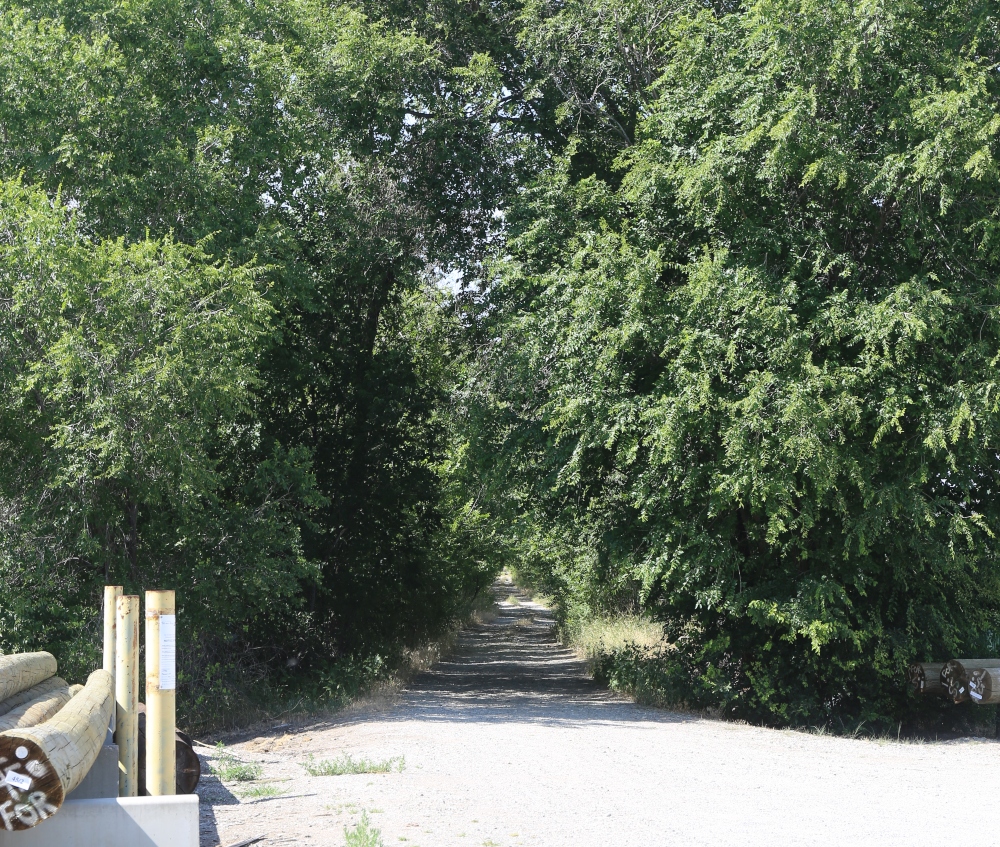
As identified in the 2011 Regional Trails Master Plan, securing former rail corridors have been the primary goal to develop a safe and enjoyable “off highway” trail network. Due to land management and infrastructure issues, connecting the trail in the South Okanagan has been challenging. Of the 66km of potential South Spur trail route, the RDOS is actively managing approximately 14km in two isolated sections:
· Kaleden through OK Falls 10km
· North Osoyoos Lake 4km.
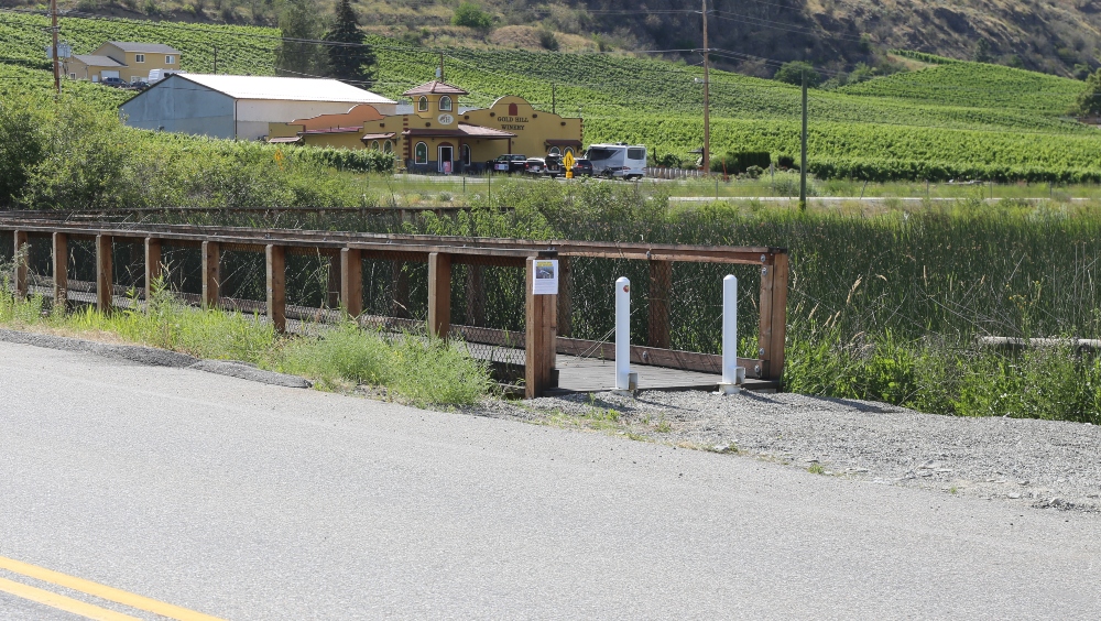
Although not the former rail corridor, the west side of the Okanagan river channel dike through this area is a suitable alternative to the KVR. The alignment runs parallel to the KVR right of way and is actively used as a trail – known as the International Hike and Bike Trail. The existing trail along the river dike is currently not maintained as a trail, as the mandate of the Provincial ministry responsible is the management of the Okanagan Valley watershed and associated flood control infrastructure.
The RDOS currently has a limited scope contract with the Province to mow the edge of the trail for the northern most 11 km of the 18.5km application which was paved nearly thirty years ago and is falling in to disrepair. This contract allows the RDOS to modestly enhance the user experience but does not allow resources and funding for capital improvements, repairs or increase operational service levels which could include resurfacing, signage, access controls and increased vegetation
management.
An extensive trail network in the region provides benefits to the health, social, tourism and economic sectors by connecting people and communities through linear corridors for commuting or recreational uses. Adding 18.5km of RDOS managed trail will create over 20km of continuous trail connecting from the north end of Osoyoos Lake through Oliver to Gallagher Lake. RDOS staff will
continue to work with First Nations, communities, provincial and federal agencies to connect the South Spur of the KVR Trail:
· Road Route – Osoyoos – 7.5km
· KVR – Road 18 to Road 22 – 3km
· KVR – Deer Park (Osoyoos Indian Band) – 4km
· KVR – Gallagher Lake to Okanagan Falls (via Vaseux Lake) – 11km
· Road Route – Okanagan Falls – 2.5km
· KVR – Kaleden to Penticton (Penticton Indian Band) – 6km
RDOS directors will debate Thursday whether to go again on a two tenure licenses from the province of BC – use and tenure of the Hike and Bike Trail on the Okanagan River Channel – Rd 18 to McAlpine Bridge north of Oliver and
3 km strip of former railway bed from Rd 21 to Rd 18 heading north from existing pathway shown in top picture.