 The Okanagan Basin Water Board says 2015 was a year 0f drought for the region.
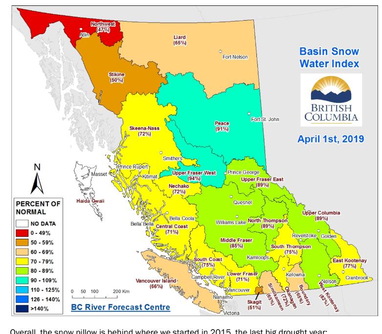
Not sure what it said for 2016, 2016, 2017, 2018 – but fear is what is spread in the arid Okanagan region for lakes, creeks, rivers, lake and yes a lot of agriculture and green lands.
When I was younger the word drought was for dry lake beds – now the government uses this word to control the use of water by defining different levels of same. They just can say a wet year or a dry year – it has to be defined so they can put a stamp on it.
Normal – green
Dry – yellow
Very Dry – orange
Extremely Dry – red (the only category where government would intervene in water supply – leaving the other three categories to voluntary action of suppliers of potable water and agriculture.
So another drought this year? Can you remember a time when the lakes were dry?, the irrigation was shut off.
Okanagan Lake is our reservoir
The bottom land of the SO is saturated as an aquifer with millions and millions of litres of water from Osoyoos Lake north to Road 6 in Oliver.
What we all most be concerned with is the quality of the water and what we do to it – contamination etc.
More on that later