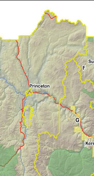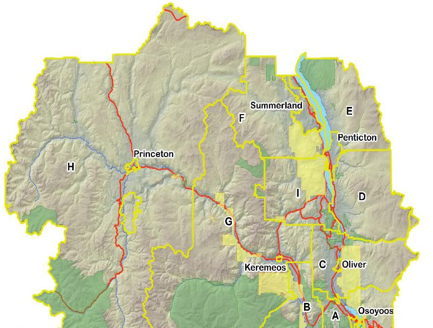
RDOS map
Green – protected areas
Yellow – land of indigenous peoples
Where you see a name: Princeton to Osoyoos, Oliver to Summerland – population densities in municipalities
Grey/Brown – the vast majority of land
Now take a look at one slice and ask – why did PC not seek this huge chunk of land for a Reserve ?