 Snowfall warning in effect for:
- Central Okanagan – including Kelowna
- North Okanagan – including Vernon
- South Okanagan – including Penticton
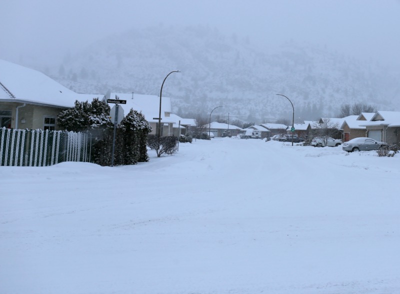
An approaching low pressure system will track across the South Coast tonight. Ahead of the low, snow at times heavy over the southwest interior and the southwestern sections of Chilcotin, as well as the Boundary region, will begin early this evening. Snow accumulations of 10 to 15 cm near the valley bottom and up to 20 cm for the highway passes can be expected by Wednesday morning before the snow tapers off to a few flurries.
Be prepared to adjust your driving with changing road conditions. Visibility may be suddenly reduced at times in heavy snow.
Please continue to monitor alerts and forecasts issued by Environment Canada.
To report severe weather, send an email to BCstorm@canada.ca or tweet reports using #BCStorm.