Evacuation Alert
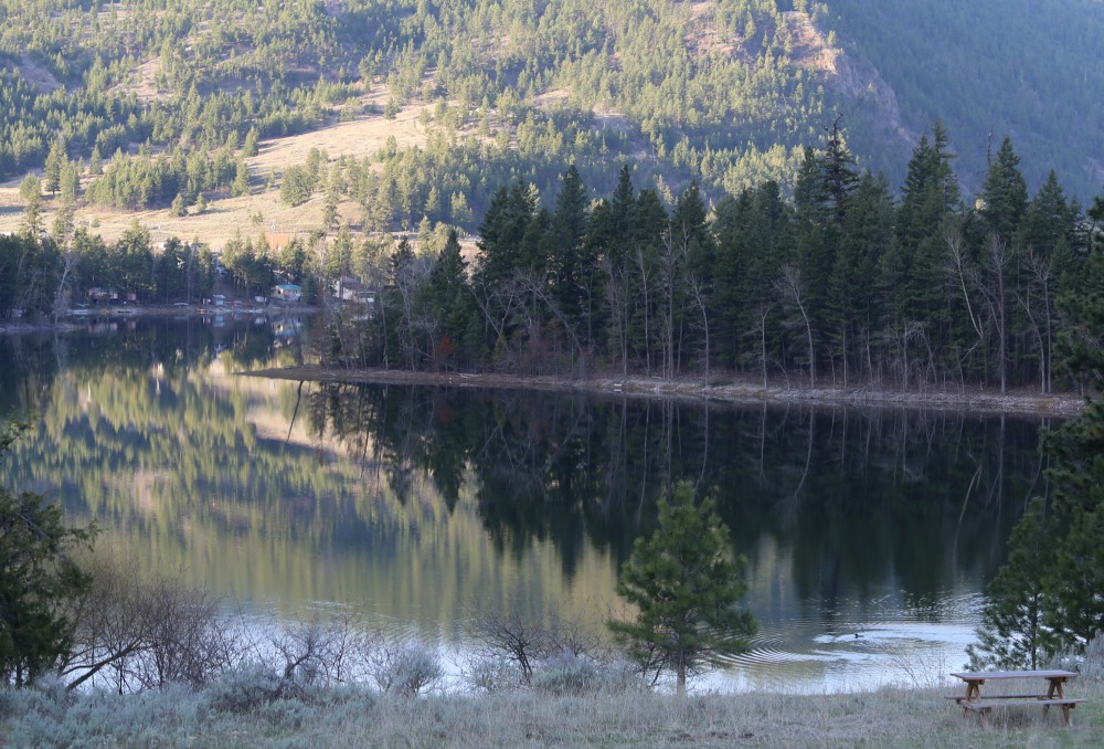
The Regional District of Okanagan-Similkameen Emergency Operations Centre (EOC) has placed 64 properties in the Twin Lake area under Evacuation Alert due to the potential of flooding. All homes are adjacent to Lower Nipit Lake. A full list of properties and map are included in this document.
The Twin Lake area experienced significant flooding in 2017. This year is expected to be significantly worse. From today, Lower Nipit Lake has the potential to rise another six feet. Currently, the lake level is rising as much as six inches per day. Lake levels are expected to rise quickly in the next week with warm temperatures melting the local snowpack; which is more than 150% higher than normal.
Kettle lakes are formed in depressions that have no natural outflow like a creek or river, to remove water. Kettle lakes rise and fall due to changes in groundwater.
In 2017, the Lower Nipit Irrigation District (LNIP) at Twin Lake was allowed by the Province of BC to pump water into Park Rill Creek to lower the lake levels. This year Park Rill Creek is already flooding, compromising dams and roads and damaging downstream properties. In the Sportsmens Bowl Road area, 17 properties remain on Evacuation Order due to flooding from Park Rill Creek.
At this time there is no water being pumped from the Twin Lakes area into Park Rill Creek.