Source: Environment Canada
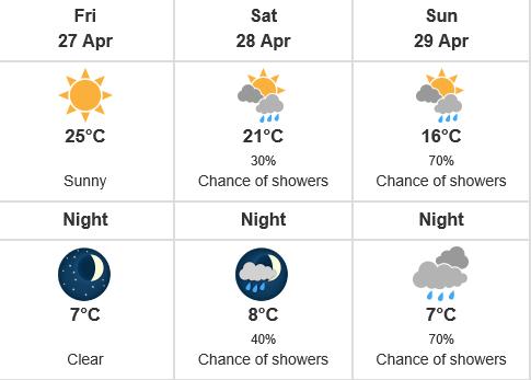
A ridge of high pressure is building across British Columbia, ushering in the first prolonged warmer weather period of the freshet season. Temperatures are expected to gradual rise through Friday, with temperatures expected to reach in the low to high 20’s throughout most of the BC Interior. Snow packs observations at automated snow weather stations across the province have been experiencing snow accumulation up until the past few days, and at higher elevations (above approximately 1500-1600m), much of the forecasted heat will translate into ripening the snow pack. At low-to-mid elevations (approximately 900-1500m) snow packs have ripened, and are now experiencing snowmelt. With warming over the next few days, the melt of these low-to-mid elevation areas is expected to accelerate. Current weather forecasts are indicating the potential for an upper low system to transition to wetter weather, particularly for south-east BC. While it is still too early in the snow melt season for significant flows in the larger river systems of the province, smaller streams and tributaries that are fed by low-to-mid elevation terrain are at the greatest risk of high flows over the next several days.
These areas include:
Okanagan – including tributaries in the Oliver, Osoyoos, Summerland, Penticton, Kelowna, Vernon and surrounding areas
Similkameen – including the Tulameen and tributaries
Boundary – including the West Kettle River, Kettle River, Granby River and surrounding tributaries
Source: BC River Forecast Centre