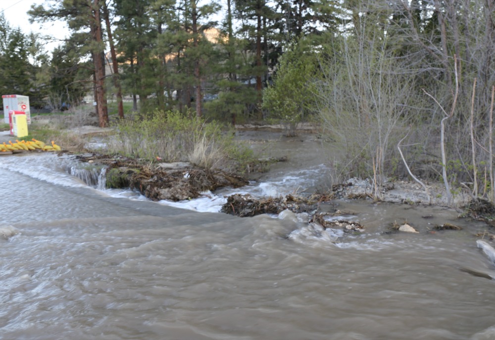
These pictures 7 am Monday – the worst I have seen it since the event began. ODN has toured the sub-region for weeks – talking to people directly affected. ODN has toured oxbows, rills, creeks, dams, lakes, streams all the way to the river. It is truly a mess. Many say warnings were given last year…….
Authorities say they have a plan but “rhetoric” does not cut it. How do you get this volume of water back into the natural channels or stream beds???
What’s the real mitigation plan for MORE water….. Would be nice to be told the real plan – and not just words that keep getting bigger to explain it all.
***
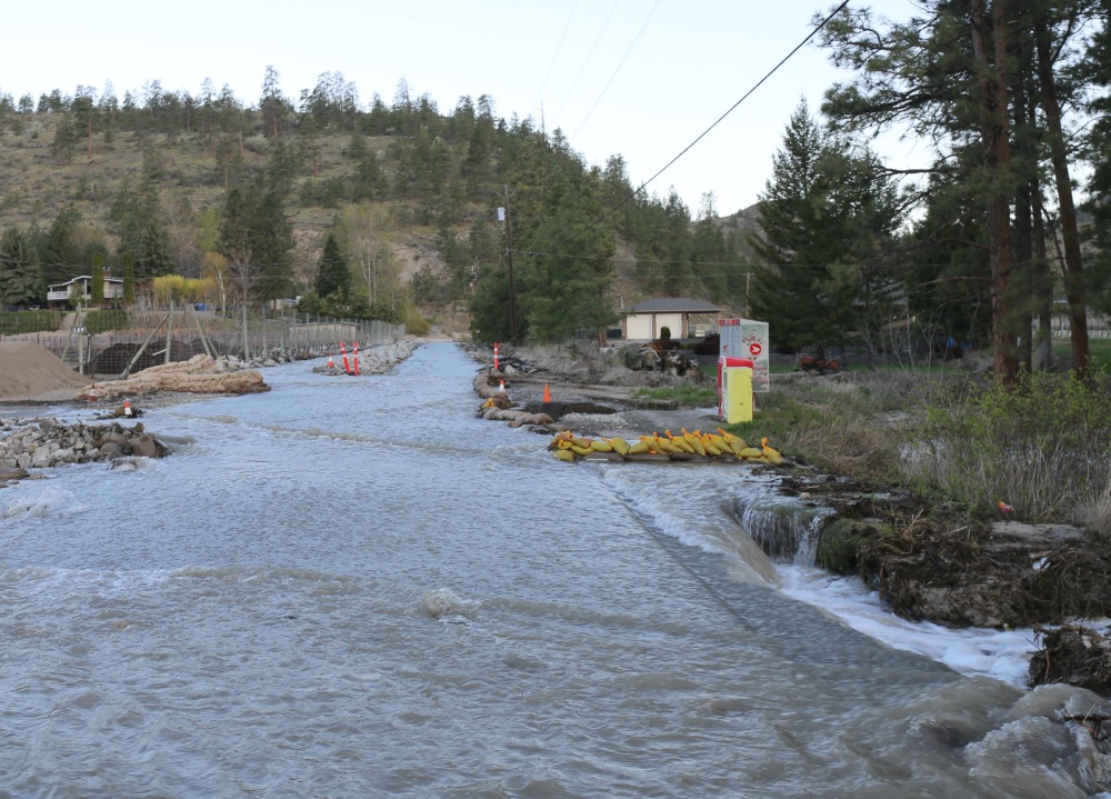
“In the coming days, expect to see more equipment, armouring protection and crews on site to undertake drainage and flooding mitigation. These works will take place from the Okanagan River River channel, over Island Way Rd., and up into and including Sportsmen Bowl. Once the works are in place and underway, information updates will be provided.
Freshet is increasing the water flow volumes, putting additional pressures on that area and downstream properties. Today, a strategic planning discussion took place with all agencies to develop strategies for each inundation area.
Provincial Ministry representatives, BC Wildfire crews, Regional District Okanagan-Similkameen (RDOS) and Hydrogeology specialists have been working on mitigation efforts at the Sportsmens Bowl area as overland water flows continue to present a challenging situation.”
Source: RDOS EO Centre
***