Where, what, why, history ???
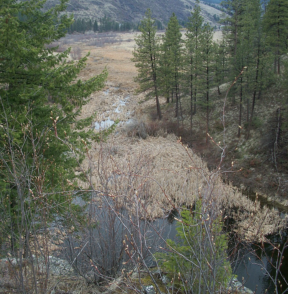
South of Norton’s – What is creek name of stream – south of ponds – heading south to Fairview Rd area ?
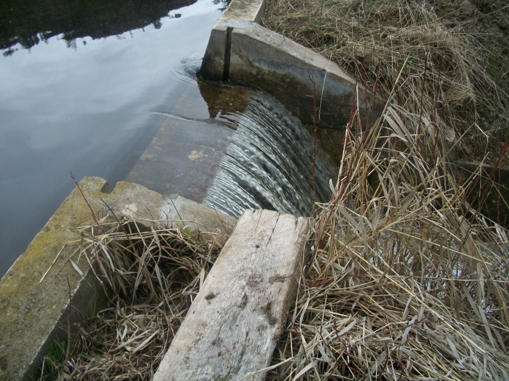
Editor: copy changed so that info is as correct as possible – 2nd picture is the spill way of dam at Secrest where Meyer’s Flat and Park Rill water flow – congregates before heading down stream.
Thanks to Ken and Linda Nunweiler for supply of pictures