BC Wildlife Federation’s Map our Marshes course offers passionate community members the technical and field skills for mapping smaller, unappreciated wetlands with GPS (Global Positioning System) receivers as well as how to upload these maps to an online database – the Community Mapping Network. Smaller wetlands are highly productive for a diversity of species as well as flood control and water filtration capacities. Development and threats to wetlands across BC signify the importance of mapping small wetlands and securing the information online. As users of the environment, we need to know what ecosystems are in our backyards to help determine conservation mandates as development continues at a rapid increase.
Map our Marshes courses teach community members how to track changes to wetland landscapes through GPS education, which lays the foundation for habitat protection and conservation. This one-day introduction to GPS skills leaves participants feeling empowered, connected to a language of technology and supported by trainers from the BCWF in their future stewardship endeavours.
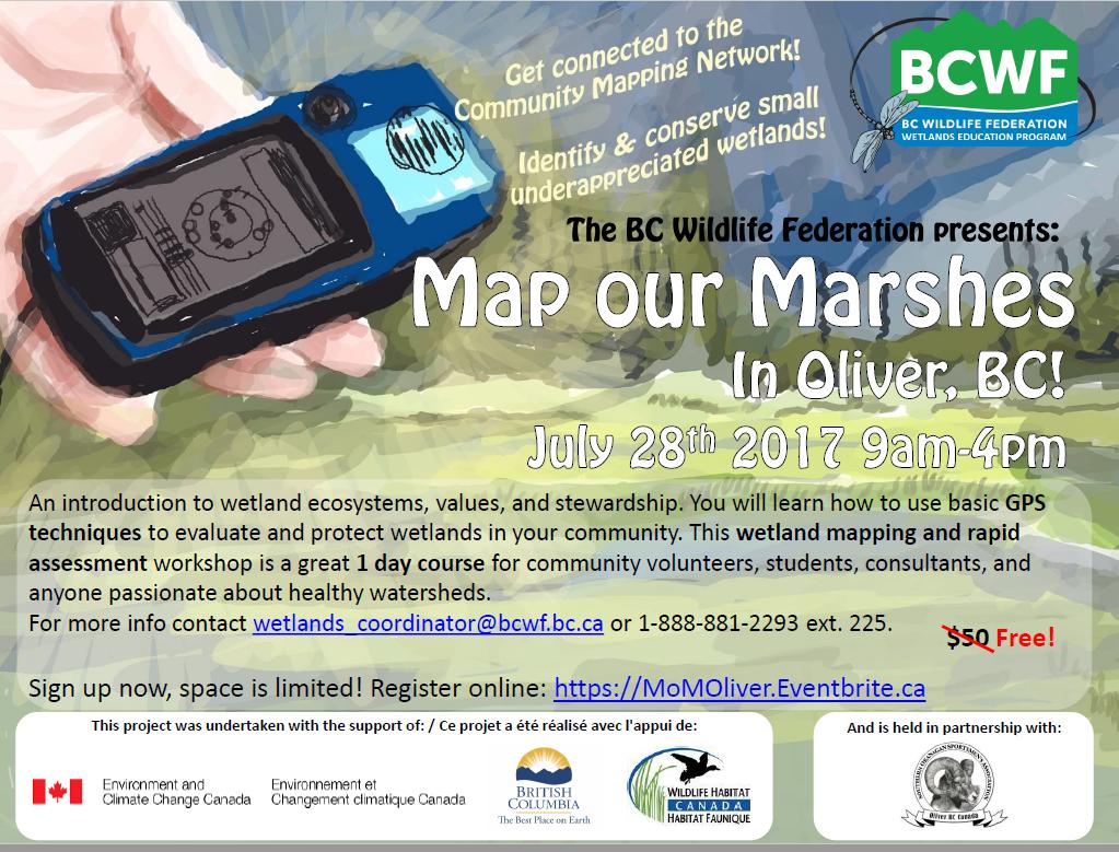
We still have space in this workshop, please feel free to pass along to anyone you know who may be interested. Thank you for your support.
Oliver Map our Marshes Workshop (No cost) – Friday July 28th – 9 AM – 4PM
Click below to register:
https://www.eventbrite.ca/e/oliver-map-our-marshes-2017-registration-32367617415