 Oliver Mtn- East Side Trail: Elevation 583 meters (1907 feet).
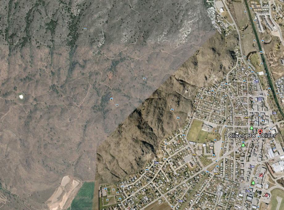
Directions: Oliver Mountain is the west skyline of Oliver, BC. It runs south to north parallel to Oliver. In the past this area was a significant mining centre. The Fairview mine was located on the slope to the south of Oliver Mountain. There are many ATV trails but powered vehicles are no longer allowed. There is a road/trail along the east side of the mountain heading north. One can make the hike longer by following the trail off the mountain. It appears to run further north a considerable distance. The GPS shows an altitude gain of 78 meters to a high point.
Fairview Mtn. is normally associated with a golf course on the ridge behind and to the south west.
Mistake appears to have come from the RCMP news release.