Location: South of Oliver BC
Name: Testalinden Creek
Watercourse, usually smaller than a river
Status: Official
Name Authority: BC Geographical Names Office
Relative Location: Flows E into Okanagan River, NW of Osoyoos Lake, Similkameen Division Yale Land District
Latitude-Longitude: 49°07’28”N, 119°34’19”W at the approximate mouth of this feature.
Datum: NAD83
NTS Map: 82E/4
***
Origin Notes and History:
“Stashtavalentha Creek (not Postolinden nor Testalinda)” adopted in the 1930 BC Gazetteer.
Name changed to Testalinden Creek 7 June 1932 on OBF 1401, after correspondence between Okanagan Historical and Natural History Society and the Chief Geographer of B.C.
Source: BC place name cards & correspondence, and/or research by BC Chief Geographer & Geographical Names Office staff.
“I would recommend that ‘Testalinden’ be adopted as the permanent name, as this is the name given by Mr. Wm. Ralph, C.E. – the first record of this detail of which we know.” – in final letter from BC’s Chief Geographer to the Geographic Board of Canada dated 5 May 1932.
Testalinden Creek used by William Ralph, C.E. in his survey of Township #51, 20 August 1877. F.B.8/77 P.H.2, P.36-45.
Stashta-Valentha Creek used by John S. Coryell, C.E. in his survey of Township #55, 21 August 1888. F.B.124/88 P.H.4.
Tashtavalentha Creek used by J.S. Coryell, C.E. in his survey of Lot 301, Osoyoos District, 1 May 1889. F.B.148/89 P.H.4.
Stashta-velentha and Testalinden Creek both used on map of Yale district, 1906.
***
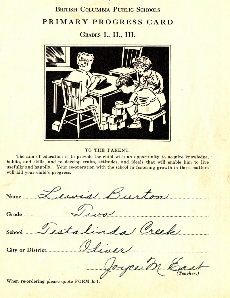
From the twenties (1927) to its closing day – the local school south of Oliver was known as the Testalinda Creek School and most orchardists, locals, children, residents called it by that more familiar name. Once closed the building was moved to Osoyoos – parts of it used for a civic purpose and the main building survives on a local street – property now for sale.
Harvey Boone may have built that school – “Travelling on the trail up the south side of what is now called Testalinda Creek, but what is named “Stash-ta-Valenka” on old maps of the area, ” ( A fire fight interlude OHS Report 28 1964 page 39)
Testalinda Creek – Two miles long, east slope of Old Timer’s Mtn; enters Okanagan River south of Oliver. Indian definition “Axe Cut” probably from deep narrow canyon caused by cloud burst. Testalinda Ford – south of Testalinda Creek used from earliest times by Indians, later by Fur Brigades and cattle men till flood control built 1957 (river made into channel) (OHS Report 22 report 1958 page 134)
April 21, 1892 – Vernon News Article – Indian names becoming fashionable. “Some of the Siwash names are undoubtedly pretty. such as “Tas-ta-hillinten” Nine-mile Creek, Osoyoos lake.
Was the Indian name “Tatsnilitn” – axe cut?
***
The French may have called the stream “Tea River” (A.C. Anderson shows it as “R au The” on of his maps
(Riviere du The)
Fairview Advance May 17 1894 – The Okanagan River crossed at Keselinda Creek and in August 2nd of same year – Indians are trapping and spearing salmon from the bridge near Kaselinda
Thanks to Larry Shannon for his research on Testalinda/Testalinden
Darryl MacKenzie – former curator of the Oliver Museum/Archive states: “Most likely a word derived from native oral language and anglicized to Testalinda before the Post Office was established. I think the moderate approach is best – Testalinda referring to the settlement area and Testalinden to the watershed.
Sylix names ending with lin-tn as in Ny-lin-tn (McIntyre Bluff) indicates a name-then-high place so lin-tn may be more correct as in Testa-lin-tn.”
MacKenzie says names like Keremeos, Penticton, Kelowna, Osoyoos, Okanagan are all based on Indian place names but corrupted in translation.
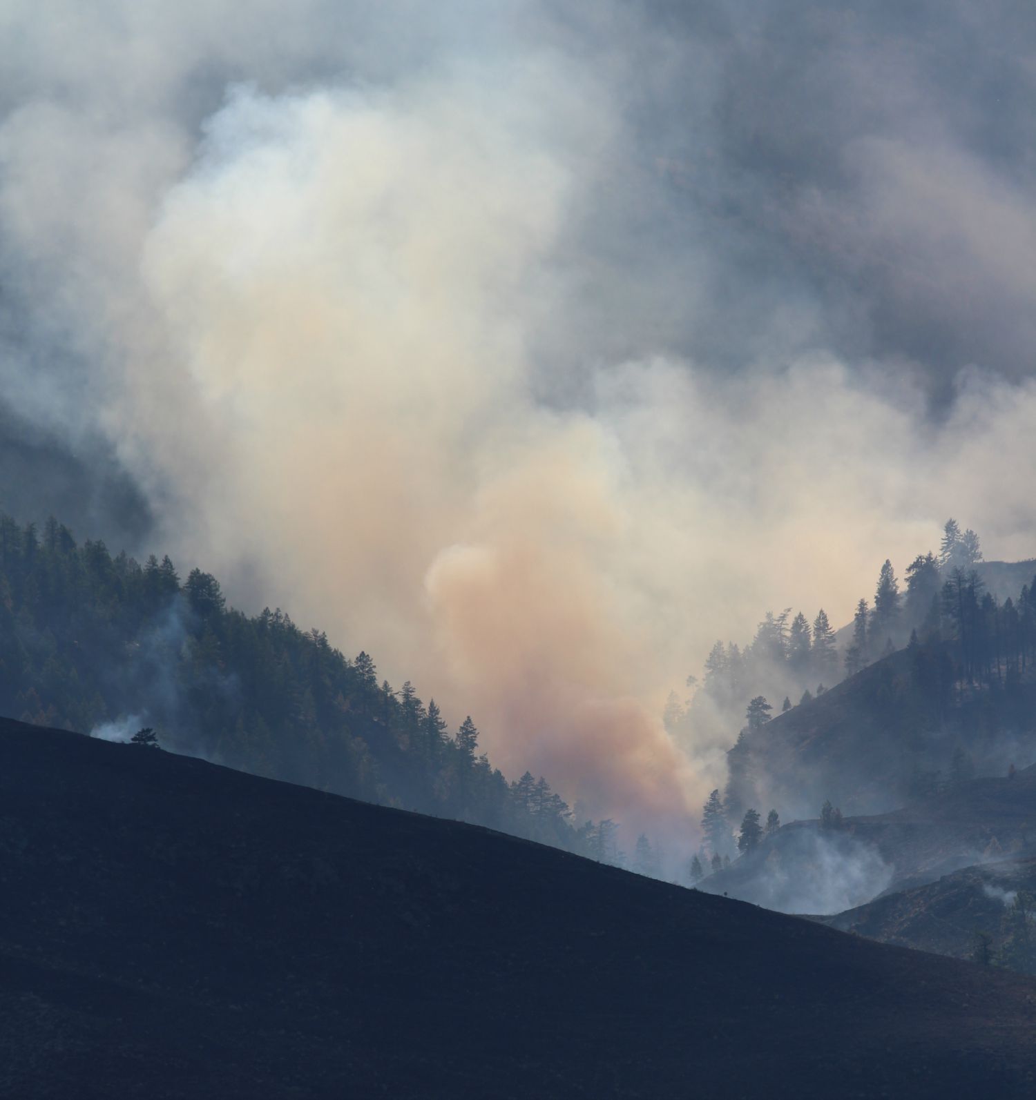
So for 90 years the locals and ALL newspapers referred to the area as Testalinda until the debris torrent of 2010. On that day government took out the maps and there it was Testalinden Flood. Let’s be safe and called it the formal name – then the fire of 2015 – the Testalinden Fire.
Former local resident Ted Hopkins started a petition on Facebook.
This article will be given to the local MLA and maybe Linda will agree to battle a bit on a place name.
***
About This Petition – 161 names signed
Recent news events involved Testalinda Creek and news media reports consistently and erroneously used the name “Testalinden,” apparently drawn from geographical naming lists under control of the British Columbia Geographical Names Office and the Geographical Names Board of Canada.
“Testalinda Creek” was already the established name of the creek in 1911, June, when a sketch map now in the British Columbia Archives was drawn.
“Testalinda Creek” remained the established name of the creek in 1927 when the Testalinda Creek School was built, and has remained so in the experience of southern Okanagan residents ever since.
Residents and former residents of Oliver and southern Okanagan rural neighbourhoods having always known the creek by the name “Testalinda Creek” and by no other name were dismayingly taken by surprise when news media erroneously used the name “Testalinden” at the time of the 2010 flash flood and again now with the recent wildfire.
British Columbia’s Geographical Naming Principles, Policy and Procedures states
NAMES IN GENERAL PUBLIC USE
(a) First priority shall be given to names with long-standing local usage by the general public. Unless there are good reasons to the contrary, this policy should prevail.
(b) Where long-established forms of names on maps and in records conflict with extensive, preferred local usage, the latter should prevail unless it is believed that confusion might occur, derogatory or pejorative forms might result, or for some other reason the local name does not serve the public interest.”
This petition seeks to restore the correct name of “Testalinda.”
Thanks also to Pam Woolner, curator Oliver Archives.