 West of Rock Creek (N60584)
Last updated: Thursday, August 13, 2015 at 5:08 PM
Location: Near Rock Creek
• See approximate location of this wildfire on a Mapquest map.
• View an interactive map of all active Wildfires of Note.
Discovered: Thursday, August 13, 2015
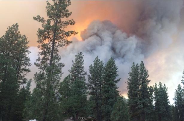
Size: estimated at 400 hectares and growing
Status: Active
• 0% contained
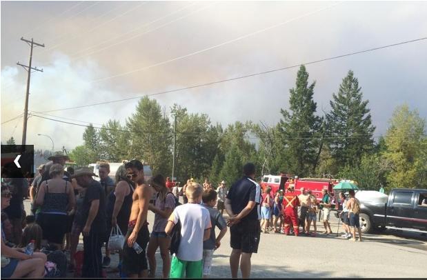
The BC Wildfire Service and local fire departments are responding to a rapidly growing wildfire near Rock Creek.
Both Highway 3 and 33 have been closed. Please check DriveBC for further details.
Interface: Interface Interface Fire
Evacuation Order is in effect.
Evacuation Alerts and Orders are being put in place by the Regional District of Kootenay Boundary. Find info here: http://www.rdkb.com/
No further details available at this time.
Cause: Under Investigation
Resources
Firefighters, airtankers and helicopters are currently responding and additional resources and personnel are en route.