 “I think it is fair to say that every spring it is difficult to predict where and when it will flood within the region, but we are paying attention to the Twin Lakes, Willowbrook and Sportsman’s Bowl area this year. We also watch for activities in Similkameen River / Keremeos Creek, Chopaka and Tulameen areas.”
Dale Kronebusch – RDOS – Emergency Services Supervisor
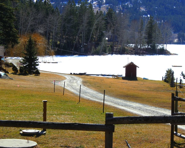
Picture taken Sunday at Twin Lakes – lakes in the area still frozen – some concern about summer cabins built many years ago closer to the lake. Up to ten homes could be affected.
The Park Rill water system starts in the Twin Lakes area travelling south to Meyers Flat and then to the valley floor at Okanagan River.
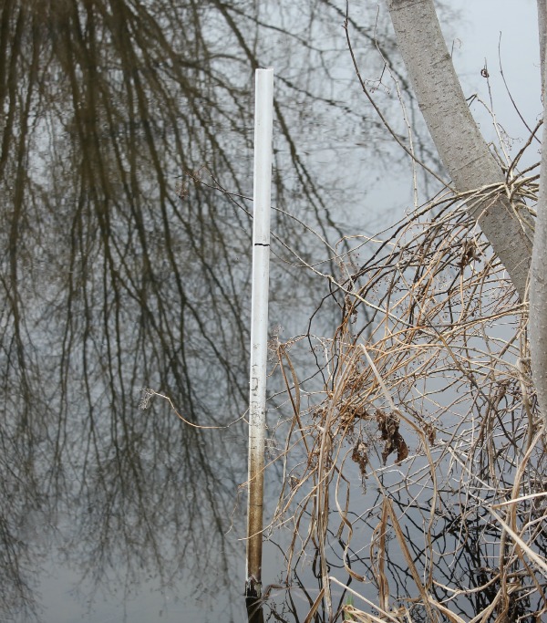
Picture below high water marker on Park Rill near Island Way