The BC River Forecast Centre is issuing a High Streamflow Advisory for:
• Similkameen River near Hedley
• Small rivers and creeks near Penticton and other south Okanagan area
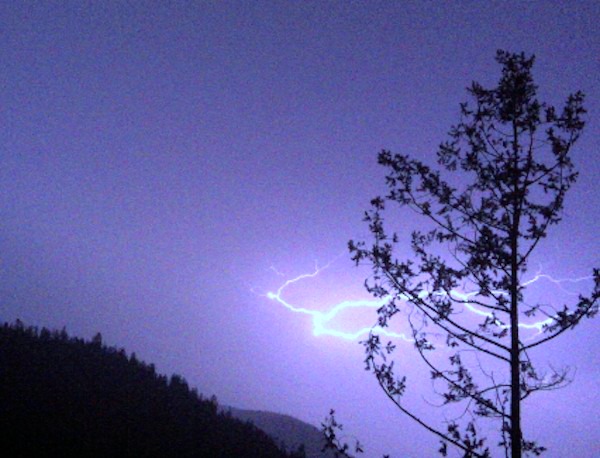
According to Environment Canada, an upper low pressure centre situated off the Oregon Coast, USA will move northward tonight (September 5, 2013) and Friday. This system will bring bands of showers and thunderstorms to the Southern Interior beginning near midnight tonight and will likely continue through Friday evening.
Rainfall amounts of 30 to 50 mm are forecast by Friday evening with heavier amounts possible near embedded thunderstorms for South
Okanagan Including Penticton and Similkameen.
The river levels are expected to rise in this region in responding to this rainfall. At Water Survey Canada station Similkameen River near Hedley, the stream flow is expected to rise to a 2 to 5 year return period flow by Friday evening (September 6, 2013). The water levels of the other smaller rivers and creeks in this area are expected to rise more quickly and higher. The actual rise of the river levels will depend on the actual rainfall amounts falling down on this area.
The River Forecast Centre will continue to monitor conditions and will provide updates when conditions change.