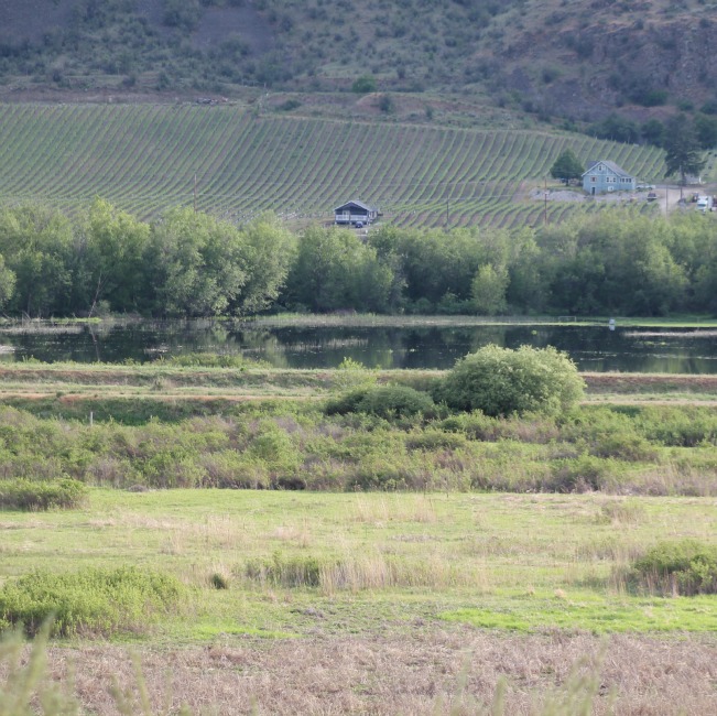
Picture above tonight north of Rd 22. This I believe is part of the problem with flooding of fields and the roadway nearby. Someone at RDOS had mentioned an ox bow* – this is immediately to the west of the river near the dyke. Hard to describe but this picture taken with a zoom off Black Sage Rd looking across the valley.
*corrected