Federal Park Plan Area from US Border to White Lake and from the Okanogan to the Similkameen Valley.
As description of various Lands and Flora and Fauna of the Area
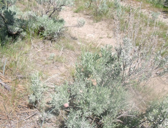
One should understand that the Ranching established at the turn of the 20th Century was decidedly different and began by providing meat for the Mining Towns and the beginnings of Osoyoos, Oliver and Cawston. There where large numbers of Cattle wintered on the flat valley bottom in the sub-irrigated meadows, which also provided the Hay land. Therein established the Building and Ranch lands belonging to Judge Haynes. Val Haynes became established at the Garrison Ranch on Hester Creek named after his Sister Ester. Fairview Town petered out by 1920 and the Southern Okanagan Lands Project became a reality to settle war veterans thus was born the Village of Oliver. In the late fifties a plan was put forth to Canalize the Okanagan River and after this was carried out the flat sub irrigated hay lands were seriously depleted. The settlement of Bottom lands for Orchards and Vegetables really in actual fact drove the Rancher into the Hills literally in order to carry out their Ranching. Thus was established the Richter Ranch which became owned by the MLA Frank Richter. The Boundary Country formerly a Mining industry established ranching in the Are at quite high elevations. Now about the Grasslands which provided grazing. The Bunch Grass provides very good feed for Cattle and is still the dominant grass species to provide this forage. Spring range at low elevations are early grazing for a limited time with natural spear grass which when ripe turn a special colour all over the hillsides. Summer ranges are predominating with bunchgrass and pine grass. It must be recognized that the Cattle grazing has kept the bunchgrass as the predominate species for a long time and will continue to do so if kept cropped by cattle. Cattle use their tongues to twist off the top of the bunchgrass and therefore leave the crown intact. Some seeds are preserved to reseed. Deer eat the crowns left by the cattle and Sheep and rodents in the early spring also browse on the crowns. The cattle are turned out to the upper range after their time on the low range containing spear grass. I have observed that the low ratio of knapweed and other toxic plants are held in place by grazing cattle. I have also observed that where cattle have been excluded from a range such as Reed Creek there is now an abundance of Knapweed. It must be emphasized the Knapweed is a Killer of Range land. It can be held in check by good cattle management and by biological means. The abundance of what I call Greasewood (because of its volatile burning) was recognized in the past and when high growth on Testalinda and Tinhorn Cr highlands became a problem the Fish & Wildlife Biologists arranged a burn to improve range habitat and the Thompson Ranch put in miles of pipeline to new water troughs benefiting cattle by spreading out the range area and new water for Deer and Grouse which are abundant in the Area. The SOSA input into this endeavour was a major Conservation Effort. I should remind you that the areas just described are in good condition as range and free from noxious weeds. The ability of cattle to range properly on their own is important. Cattle graze on the flatter areas first leaving sloping areas until later. The grass also matures. The fact they leave the steep slops in the rainy season helps in the prevention of erosion and trampling of new plant shoots until they are well established. Sheep in turn will benefit from very sloped terrain for the same reasons. The real culprit in the spreading of Knapweed is the lowly Coyote with his long fir and wandering habits. Allowing preservation of the Coyote will create an imbalance of the system. The Burn from Fairview to Willowbrook and Ripley Lake is now overgrowing and provides some of the best cattle grazing available. The winding trails used by Cattle and Dear catch the rainwater allowing the water to seep into the soil, therefore they are the best conservationists of all. Without cattle on the range, over time the land will once again, will become gullied by rain squalls. The picture shows trampled Knap weed by cattle . The cattle were removed from this land for a few years and the area was inundated by knap weed, when the cattle were turned back in they just trampled it in. Pictured above the area and fence at Reed Creek is normal.
Picture and story by Dave Evans