
The following updates have been added to the web consultation page of the proposed national park reserve in the South Okanagan Similkameen https://
1. Map – Working boundary of proposed national park reserve updated with clarification on private lands.
2. Map – Regional context updated with clarification on private lands.
3. A PDF copy of the consultation paper added.
4. A Writable PDF copy of survey added.
5. An Infographic – Update on Key Issues: Visitation, Law Enforcement and Property Values added.
6. Map – Proposed national park reserve boundary overlap with Agriculture Land Reserve added.
7. Map – Proposed national park reserve boundary overlap with provincial Wildlife Management Regions added.
8. An Inset Map of Fairview- Cawston Private Land Parcels added.
9. An Inset Map of Spotted Lake Private Land Parcels added.
10. A kml file of the proposed working national park boundary available for download.
11. A geomark link of the proposed working national park boundary for download.
*NOTE* – there have been problems with the website recognizing some postal codes. This issue has been fixed, so please try the site again if you were previously having issues.
More information on the proposed national park reserve can be found:
- on the Parks Canada website at https://www.pc.gc.ca/en/pn-np/
cnpn-cnnp/okanagan - by contacting the project manager, Sarah Boyle, via e-mail at pc.SouthOkanaganSud.pc@
canada.ca or - by phone at the toll free number 1-833-837-7535
Thank you, and please share or distribute this e-mail to others that may also be interested in periodic updates on the proposed national park reserve in the South Okanagan-Similkameen.
Sarah Boyle, M.Sc., P. Biol
Project Manager
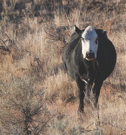
Photos and map supplied by Parks Canada
